Visitors to the upper South Fork valley in the winter stand a good chance of observing bighorn sheep on their wintering grounds. This river is managed as a wild fishery with predominant emphasis on Yellowstone cutthroat (upper reaches). The lower reaches are an excellent brown trout fishery though access is limited due to private lands.
Fishing
Fish:
Brook Trout Brown Trout Cutthroat Trout Grayling Rainbow Trout Whitefish
Details
Season:
March to June
Camping Info
One developed campground, Deer Creek, with 7 units is located on the South Fork of the Shoshone and is found near the end of Forest Road 479. Dispersed camping is allowed.
Amenities
Map + Directions
Basic Directions
The South Fork of the Shoshone River is located in northwest Wyoming and has it's headwaters near the continental divide in the Washakie wilderness. The lower 32 miles are accessed by driving the river corridor on State Highway 291 southwest out of Cody. This turns into Forest Road 479 upon entering the forest. The upper 25 miles can be reached by foot or horseback only. State Highway 291 is maintained year round.
Below are the Free Visitor Guides for Cody. More Visitor Guides are available in South Dakota. Click here to view them all!
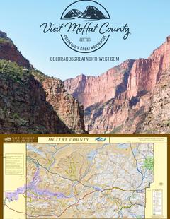
Visit Moffat County Northwestern Colorado
Visit Moffat County
Northwestern ColoradoWelcome to Colorado’s Great Northwest, Moffat County has nearly 2 million acres of public lands to explore. Experience places like Dinosaur National Monument, the Sand Wash Basin Wild Horse Management Area and free flowing rivers including the mighty Yampa, last of the wild ones! Request this Free Visitor GuideRequested!You're all set! Complete the form below to receive your guides by mail.
Switch to Mobile Browser Mode
We offer a compact version of Go-Southdakota for mobile users, allowing you to access just the information you need on the road. Of course, you can still use the full version of Go-Southdakota on your mobile device just as you can on your desktop.